Description:
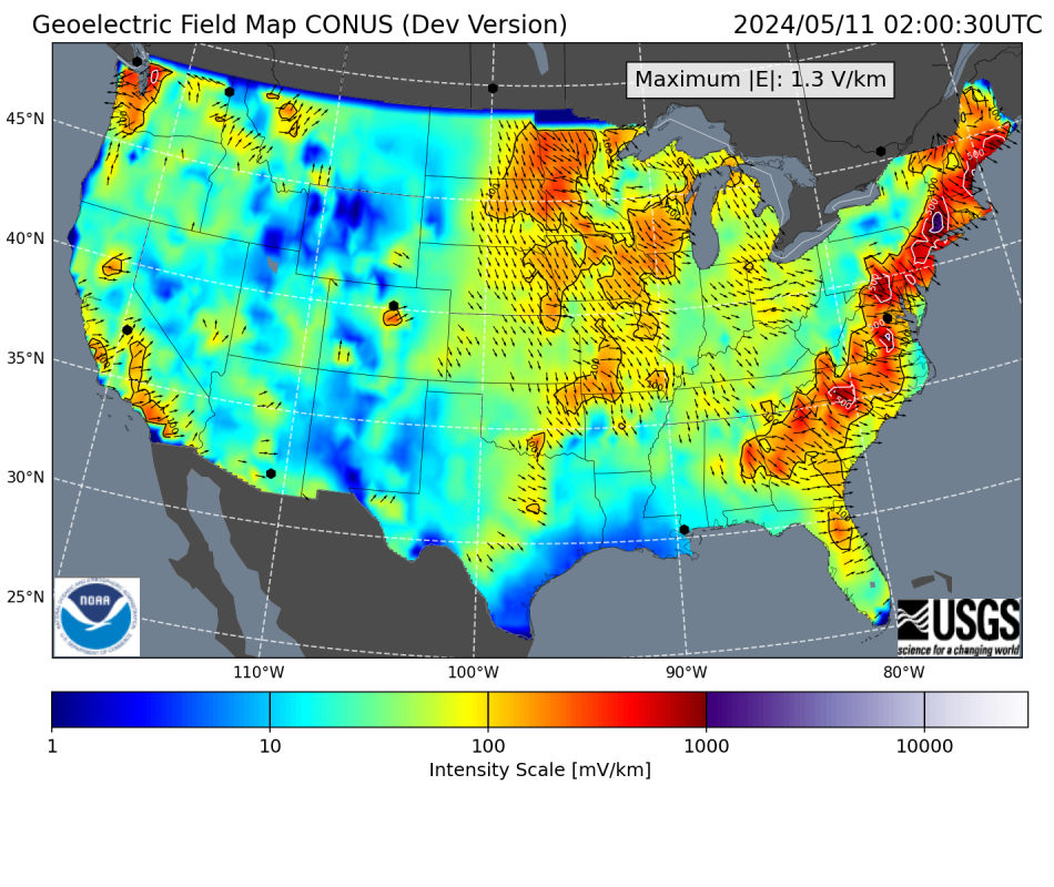
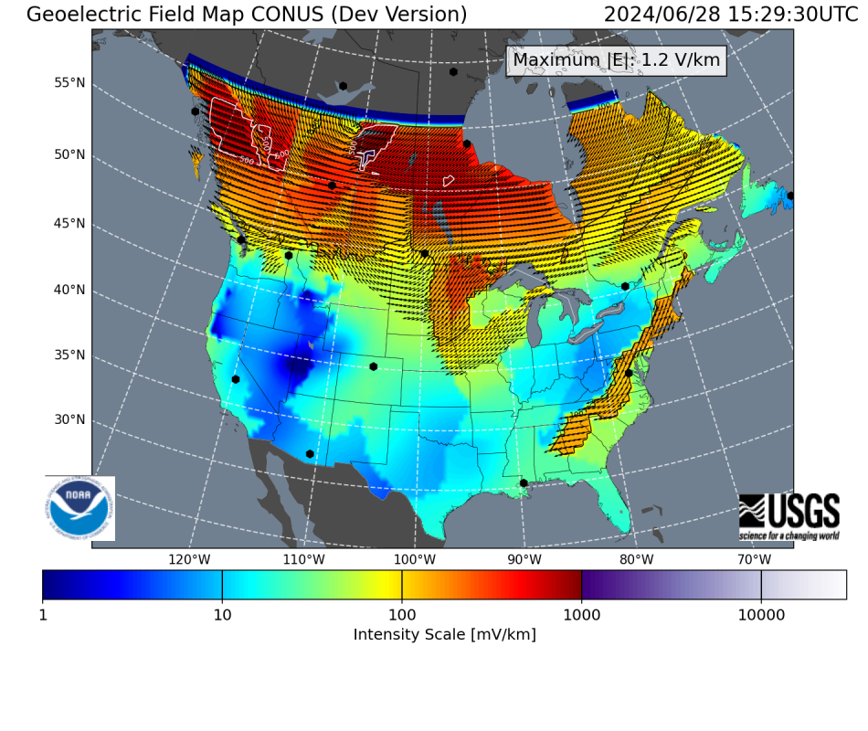
Non-exhaustive, science-quality, retrospective geoelectric simulations for geomagnetic major storm periods. These simulations were performed using the
NOAA-USGS Geoelectric Models with ground magnetometer time series from
INTERMAGNET. The number of stations included in any single simulation may vary, depending on quality and availability. Daily netCDF files contain gridded (0.5x0.5∘) geoelectric field components (Ex,Ey) at one-minute cadence. The list includes storms since 1991 (plus the March 1989 storm) that observed at least one synoptic period with a kp index above 8- (G4 or G5 in the NOAA scale) and it is organized by maximum Kp index in decreasing order.
Purpose:
This data repository is meant to provide end users with geoelectric field values during major geomagnetic storms for quantifying the effects of space weather on systems vulnerable to ground induced electric fields. Data in this repository are particularly aimed to facilitate Bulk Electric System (BES) planers in performing GeoMagnetic Disturbance (GMD) reliability analysis such as that recommended by the North American Electric Reliability Corporation (NERC) in their
TPL-007 guidelines.
Input Observations:
The nowcasting NOAA-USGS geoelectric models use real-time magnetometer data from USGS and NRCan stations, which sometimes can have artifacts, temporary outages, or incorrect baseline values, leading to inaccurate or nonexistent geoelectric field values. In order to eliminate these problems we employed geomagnetic time series from
INTERMAGNET which typically re-process observatory data. In addition, the timeseries data were checked for missing values, spikes, and gaps, and the baselines were removed by subtracting the median value. In the table above, SECS input plots display the time series for visual inspection. The 24-hour period before the start of the storm is included in the plots since it is used to calculate the geoelectric field values according to the real-time method of
Boteler & Pirjola (2022).
ASCII and geoJSON formats:
Text-format (ASCII or geojson) output files of the one-minute geoelectric field maps can be created using the following python-based script:
netCDF to geoJSON ASCII
Download the netCDF file(s) to be converted into text files and process them according to the instructions in the link.
Notes:
- The number of input geomagnetic stations included in the simulations can vary from storm to storm depending on availability or data issues such as large gaps.
- Further simulations from other major storm periods will be added in future, based on input data availability and quality.
For details about the NOAA-USGS Geoelectric Model visit here.
For any comment, information, or to report any issues with the geoelectric data please email to jordan.guerra@noaa.gov. For any issues with this website please contact alicia.williams@noaa.gov.
Conditions of Use and Acknowledgements:
If any of this output is used for scientific publications, please include the following language (or similar) in the data availability statement: “Geoelectric fields values used in this work were calculated by the NOAA-USGS Geoelectric Field Model, which uses input data from USGS, NRCan, and magneto-telluric transfer functions from the EarthScope project. Data can be found here." For other purposes please include the following statement “Geoelectric data source: The NOAA-USGS Geoelectric Model” (or similar acknowledgment) and link to this page.